Urban flooding is an increasingly urgent problem affecting cities in Southeast Asia. In addition to being urgent, flooding is also deeply complex — the causes and consequences of floods are varied and often combine historical, political, environmental and economic factors in unique ways.
Before we intervene to try to address floods, we need to understand flood risk from a variety of different perspectives. In an ideal world, solutions to flooding would come from contexts where researchers, communities, artists, scientists, policymakers, engineers, mappers, designers and other practitioners all came together to learn from each other, carve out a piece of the problem to work on collaboratively, and have the time, resources and support to get that work done while documenting and sharing their processes. Wouldn't that be great?
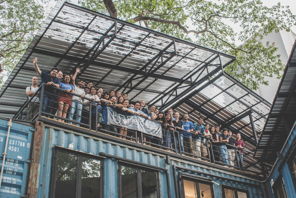
It would and it was! The Understanding Risk Field Lab: Urban Flooding in Chiang Mai (a mouthful, but we'll go with 'UR Field Lab') sought to accomplish exactly this. Conceived as an experimental new way to do collaborative research while rooted in a field context, the organisers — Co-Risk Labs, supported by EOS and led by Assistant Professor David Lallemant — hosted an 'un-conference' for a full month in Chiang Mai, Thailand, in June 2019.
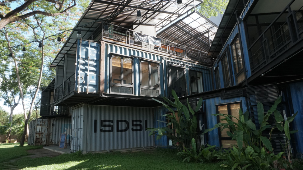
Chiang Mai proved to be an ideal location for an event like this. As a city with a long history of flooding and living with water, Chiang Mai's rich ecosystem of research and public policy innovation, technological dynamism and community action made it an excellent hub for field research. The UR Field Lab benefitted from deep and productive partnerships with local research institutions like Chiang Mai University (CMUSPP and OASYS Labs), venue partners like ISDSI andWeave Artisan Society, and passionate community organisations like FOPDEV.
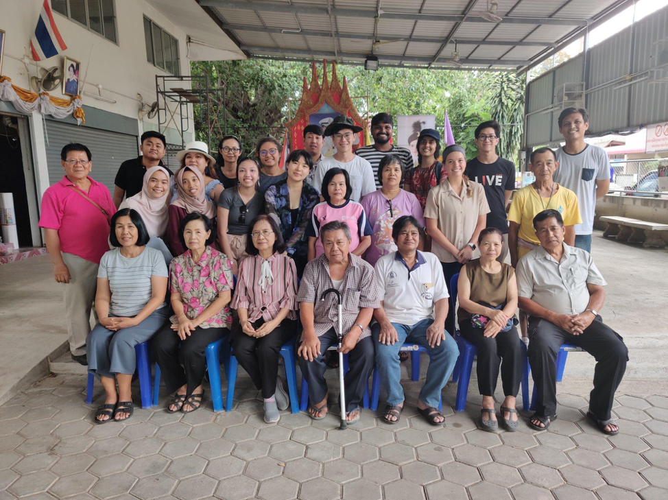
But, excellent partners and field spaces aren't enough — you also need to create an open space where participants feel empowered to collaborate, and you need passionate participants who will take the transdisciplinary spirit of an event like this even further. The UR Field Lab worked hard to provide both: the event was run on 'open space principles' to develop healthy norms and culture around transdisciplinary collaboration, and participants were selected from around the region through a rigorous application process. Generous support from the event's funders (World Bank Disaster Risk Financing Program and Facebook) also made it possible for organisers to fund the participation of younger researchers from the region for the full month.
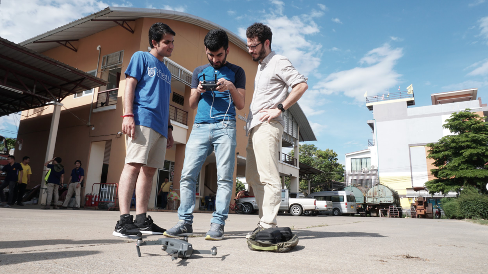
With one month to work on flood-related projects, support for richly detailed fieldwork, a nurturing un-conference community, and excellent local partners, the UR Field Lab produced over 100 outputs ranging from academic papers and machine learning models to videos, art installations, poems and immersive performances.
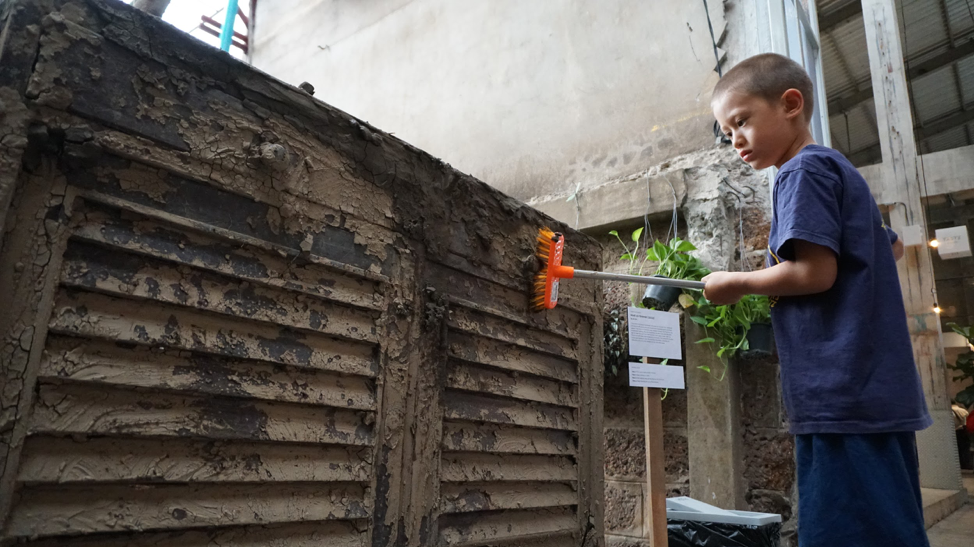
Thanks to consistent efforts from organisers, all of these outputs were thoroughly documented and made freely available to all through the event's website so that others can explore data and lessons learned through collaborations.
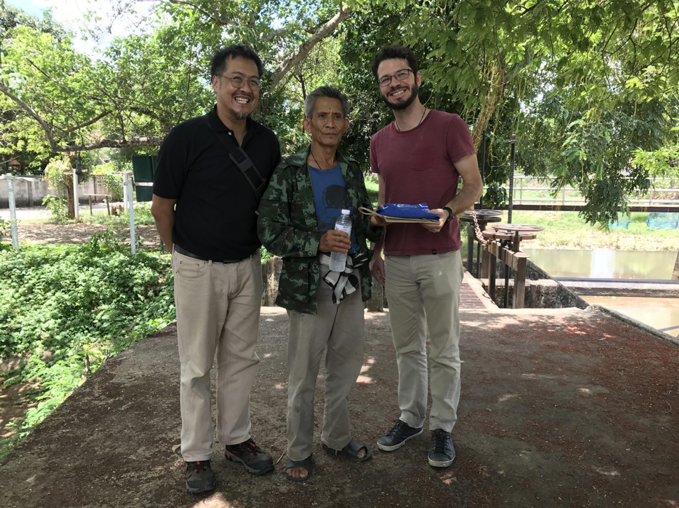
The event was generously supported by the World Bank Disaster Risk Financing (DRFI) Program, GFDRR,Facebook, EOS, and the National Research Foundation. We are also grateful for the collaboration of the Co-Risk Labs team, including the co-organisers Dr Robert Soden, Dr Perrine Hamel, Dr Giuseppe Molinario, and Ms Karen Barns, who were instrumental in organising the event. Additionally, the event benefitted from the support of the Humanitarian OpenStreetMap Team and the Natural Capital Project at Stanford. We are also extremely grateful for the efforts of our extraordinary participants, without whom the event would not have been possible. Special thanks are also due to Rachel Siao and the EOS Community Engagement and Development offices for their support with video documentation and the exhibition costs.