MIBB GPS Network
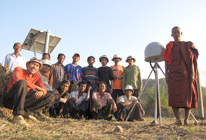
EOS' Myanmar-India-Bangladesh and Bhutan GPS Network comprises stations along North-South and East-West transects. The North-South transect is intended to measure the convergence across the Himalayan front and the Shillong Plateau. The East-West transects will reveal the nature of strain accumulation across both the fold and thrust belt of the Indo-Burman Range and northern Sagaing fault. The networks, linked by a satellite-based communication system, monitor the tectonic motion in several earthquake hotspots within South and Southeast Asia, thus providing essential information for scientists to understand the earthquake potentials from these mega fault-systems on earth. The information collected from these monitoring stations also has the potential to improve the current tsunami early warning system after an major earthquake event. CGO at EOS is fully capable of selecting the optimal site for the GPS monitoring stations, installing and maintaining these stations, as well as operating the network and processing the data.
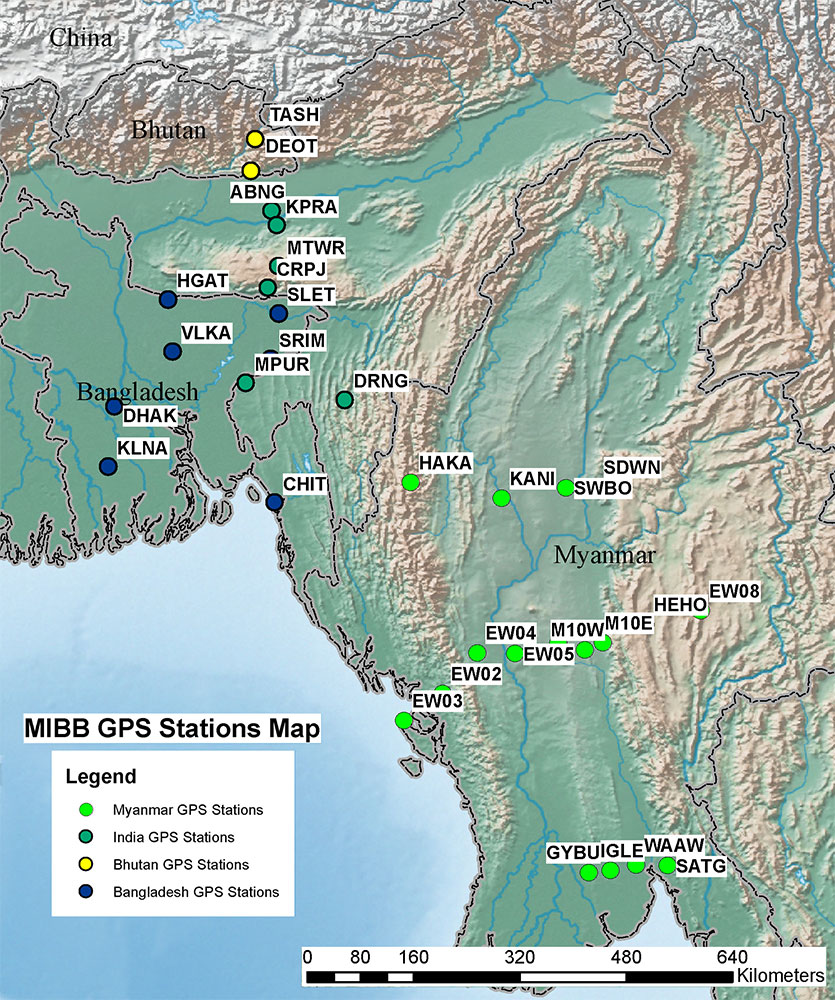
MIBB Network Map
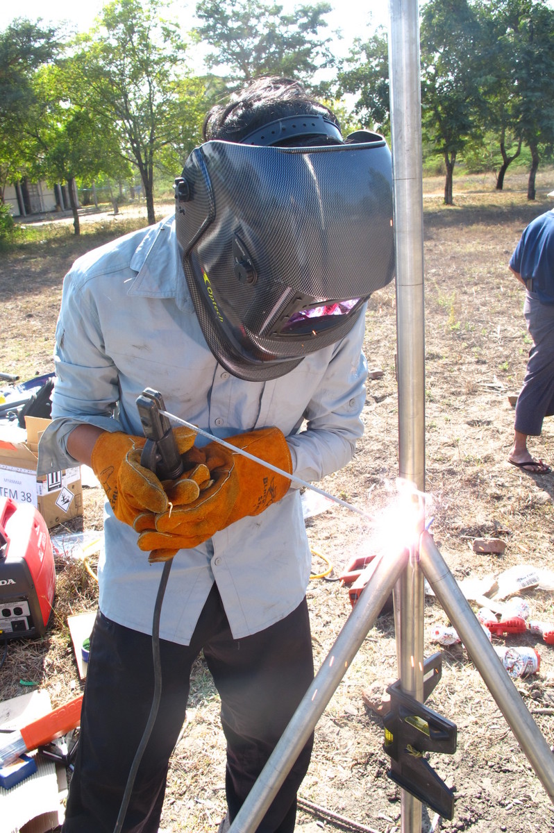
Welding of GPS Antenna
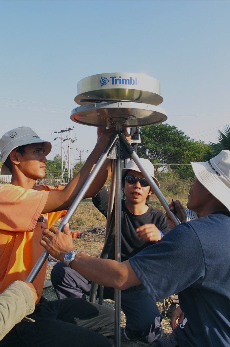
Mounting the GPS Antenna
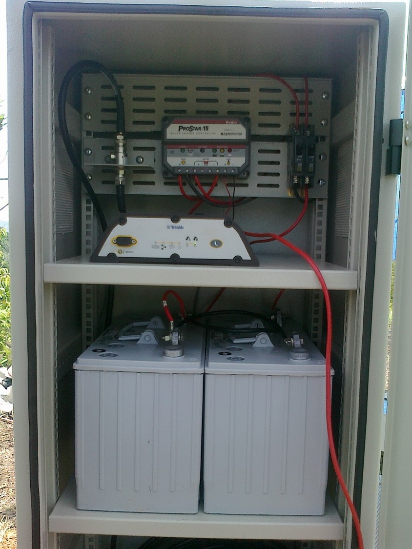
GPS Instrument Housing
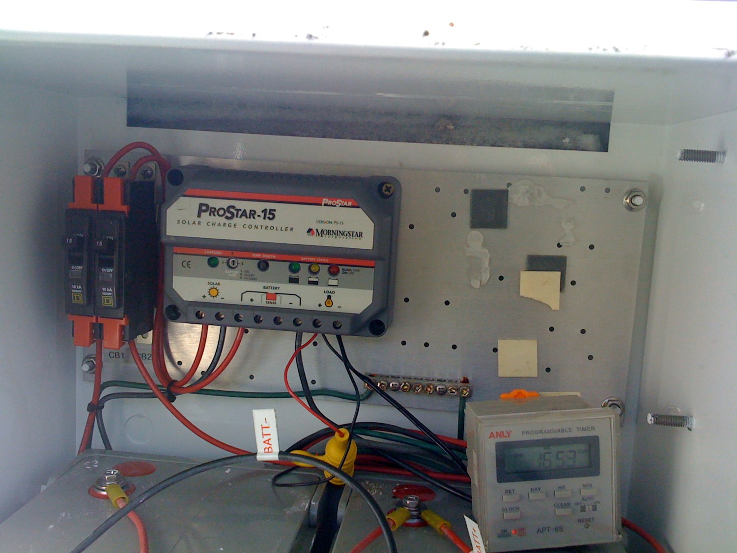
The charge-controller is a component of solar panels used at GPS stations, which are part of the Myanmar-India-Bangladesh-Bhutan (MIBB) GPS Networks and Sumatran GPS Array (SuGAr) (Source: Unknown)
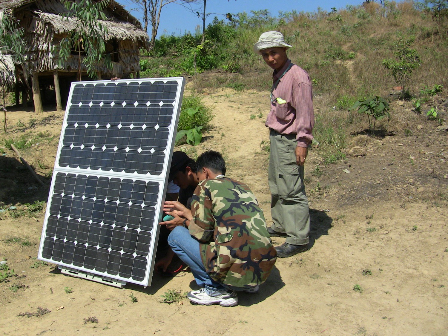
Myanmar collaborators mounting a solar panel for a GPS station in Myanmar (Source: Iwan Hermawan)