One of the things that first made me interested in geology was hearing about the number of places that geologists travel to for work. As an undergraduate student at the University of Oregon, I learned that professors in the Department of Geological Sciences conducted research in exotic places such as Hawaii, Greenland, Antarctica, and Central Asia.
Fortunately, with some hard work, good decisions, and a bit of luck I have been able to travel to many places during my career as an earthquake geologist. In addition to my home base of California, where I manage the Fault Mapping and Zonation Program at the California Geological Survey, I have worked in countries such as Turkey, Portugal, and Panama.
During these projects, I have been privileged to both contribute to and gain experience while working to protect critical infrastructure like factories, pipelines, dams, and canals from earthquake hazards. Professionally, I find this incredibly rewarding because my work, in some small way, helps to protect the health and safety of people as well as the economy and the environment.
My interest in geology does not stop at what I do for a living: I am also a bit of a geotourist, which means I often plan my vacations around geologic points of interest. Past holidays have included visiting glaciers in Argentina, volcanoes in Vanuatu, and of course, visiting places where there are active faults - my favourite topic in geology.
Late last year, Professor Ray Weldon, one of my mentors at the University of Oregon and a long-time collaborator, suggested I join him for an earthquake geology training class that the Earth Observatory of Singapore (EOS) was sponsoring. The training class was to be held in northern Thailand on the Mae Chan fault and just across the border in Myanmar on the Nam Ma fault. Naturally, I jumped at the chance and agreed to participate as an instructor. Fortunately, I could join the training class by taking vacation from work – another “geo-holiday” to add to my list.
The training course began on 14 February 2017 in Chiang Rai. After two days of lectures, the group of participants from all over Southeast Asia broke into two teams: one team would work in Thailand, while the other team, consisting of geologists and students from Myanmar, would cross the border and work on the Nam Ma fault. I would be joining the Myanmar team led by Dr Wang Yu, a Research Fellow at EOS.
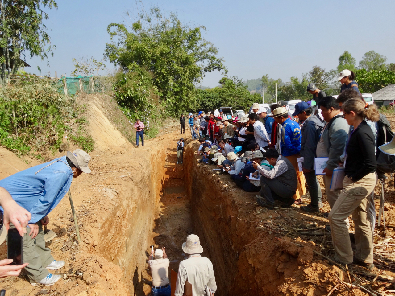
Over the next six days, our group of 15 participants and four instructors would clean and log two trenches, and measure hundreds of offsets along several kilometres of the fault.
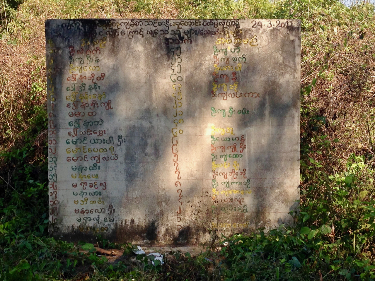
Highlights of the trip included a rough and dusty ride for 35 kilometres from the border town of Tachileik to the trench site. The trench site is very rural, and we were told that until a few years ago, tigers still roamed the area. Also, until recently the area was closed to visitors due to tensions between insurgents and the government.
During the training course, we were able to accomplish much more than I had expected. We collected weeks worth of data in just a few days. Results from the trenching still need to be analysed, but I am confident that the data we collected will contribute to a new understanding of the Nam Ma fault.
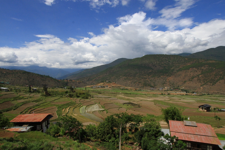
Upon my return to the United States, several colleagues were bewildered by why I would spend my vacation doing what I typically do for work. The short answer is that I really do enjoy earthquake geology, and I consider myself fortunate to work in a field with so many colleagues who are dedicated to their field, like Dr Wang Yu, Dr Xuhua Shi, and Dr Aron Meltzner from EOS, and Lili Weldon from the University of Oregon.
Also, unlike many of my colleagues, I do not teach, so this training class gave me the opportunity to become an instructor for a short time, rather than a researcher. In particular it made me think hard about the fundamentals of paleoseismology. After more than 20 years of conducting paleoseismic research, I do much of my work by instinct, and I rarely have to explain basic concepts of how earthquakes are recorded in the geologic record.
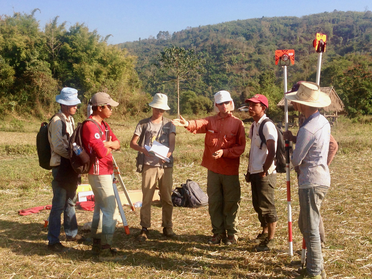
One of my favorite moments during the course was an impromptu field lecture I gave about how carbon-14 is incorporated into organic material and can be used like a clock for dating. It took some effort to remember exactly how radiocarbon dating works and it was even more challenging to explain it in simple terms.
What is most important to me is that this training class inspires more paleoseismic work in Myanmar, led by scientists from that country. Paleoseismology and earthquake geology are critical for understanding the seismic hazard of a region and for developing seismic hazard maps. There are simply not enough paleoseismologists to do the work that needs to be done.
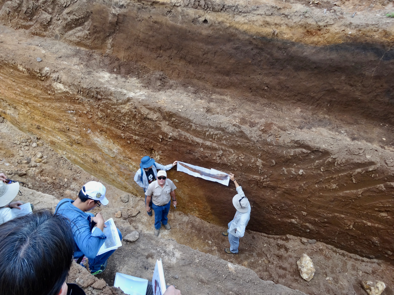
Training geologists in countries like Myanmar to do this work is essential to understand the long term behavior of faults in these rapidly developing countries. I really appreciate the opportunity to be a part of this training class, and to observe first-hand the impact that EOS is making in Southeast Asia through training and knowledge transfer.
What happened in Myanmar and Thailand was less of a knowledge transfer and more of an exchange. The opportunity to observe first-hand how a drone could be used for aerial mapping inspired me to lobby my department to consider the use of drones for field mapping.
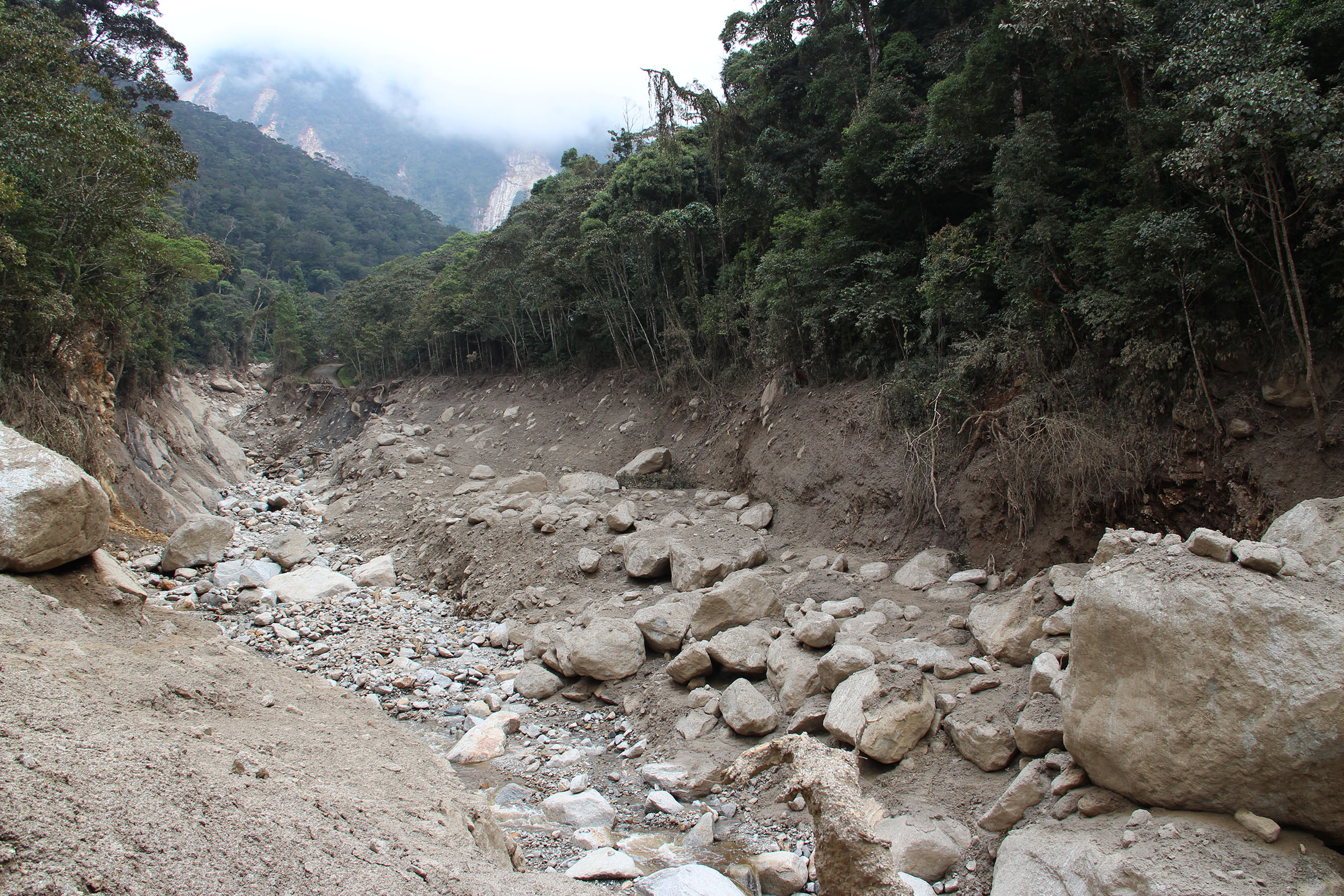
Because of this training class, I am currently participating in a drone working group that is exploring the uses of drone-based mapping applications for our department, and later this year I will be taking a two-day training class to become certified to operate a drone within U.S. air space. I hope someday I will be able to share these skills in a future training class.