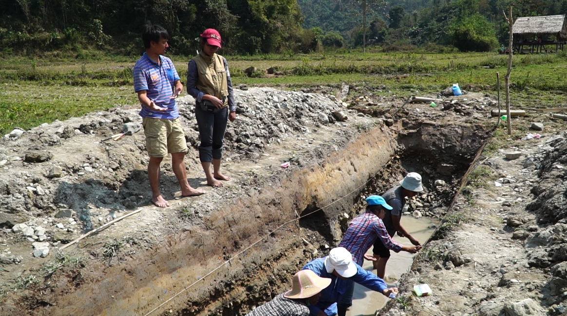
In February 2017, scientists from the Earth Observatory of Singapore (EOS) led an earthquake geology training camp in Myanmar and Thailand.
A diverse group of geology students – hailing from Thailand, Laos, Myanmar, Vietnam, Cambodia, Malaysia, China, and the USA – joined the training course led by Dr Wang Yu, a Research Fellow at EOS, and Visiting Professor Ray Weldon from the University of Oregon.
The course was designed to allow scientists to share their knowledge about active fault trenching and paleoseismology with geology students who may not have had prior field experience.
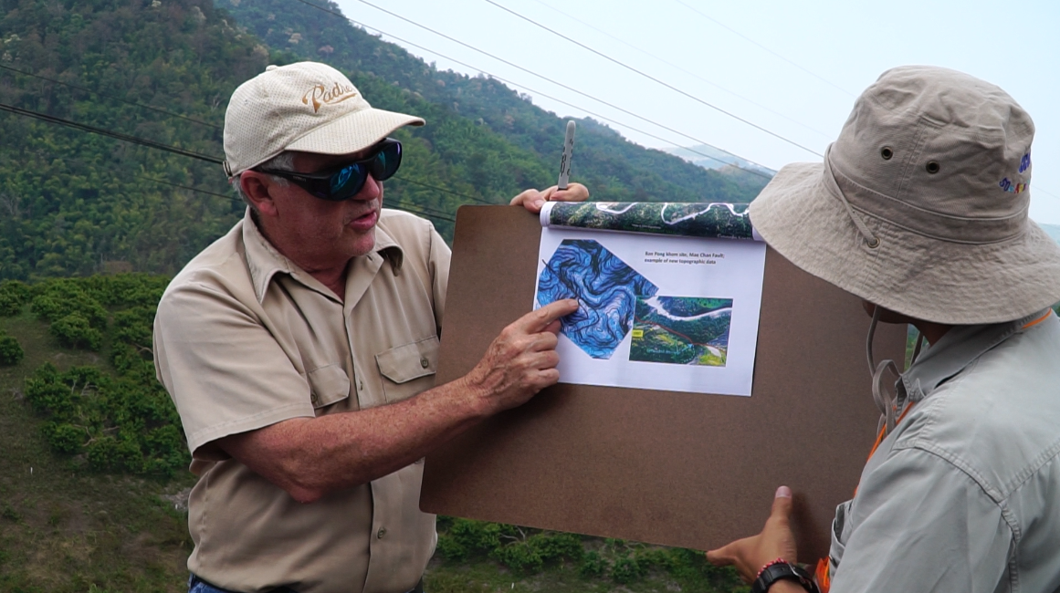
Central to this training course was the idea that scientists and students from Southeast Asia countries could be equipped with the necessary skills and knowledge so that they could conduct fundamental geological research in their own countries in the future.
Southeast Asia is a highly tectonically active region, with one of the greatest concentrations of geohazards of any place on Earth. Earthquakes frequently damage infrastructure and threaten the livelihood of communities throughout the region. “Working together,” Dr Wang Yu said, “the geologists and paleoseismologists of Southeast Asia can reconstruct a more complete picture of the earthquake history of the region and learn more about what we can expect in the future.”
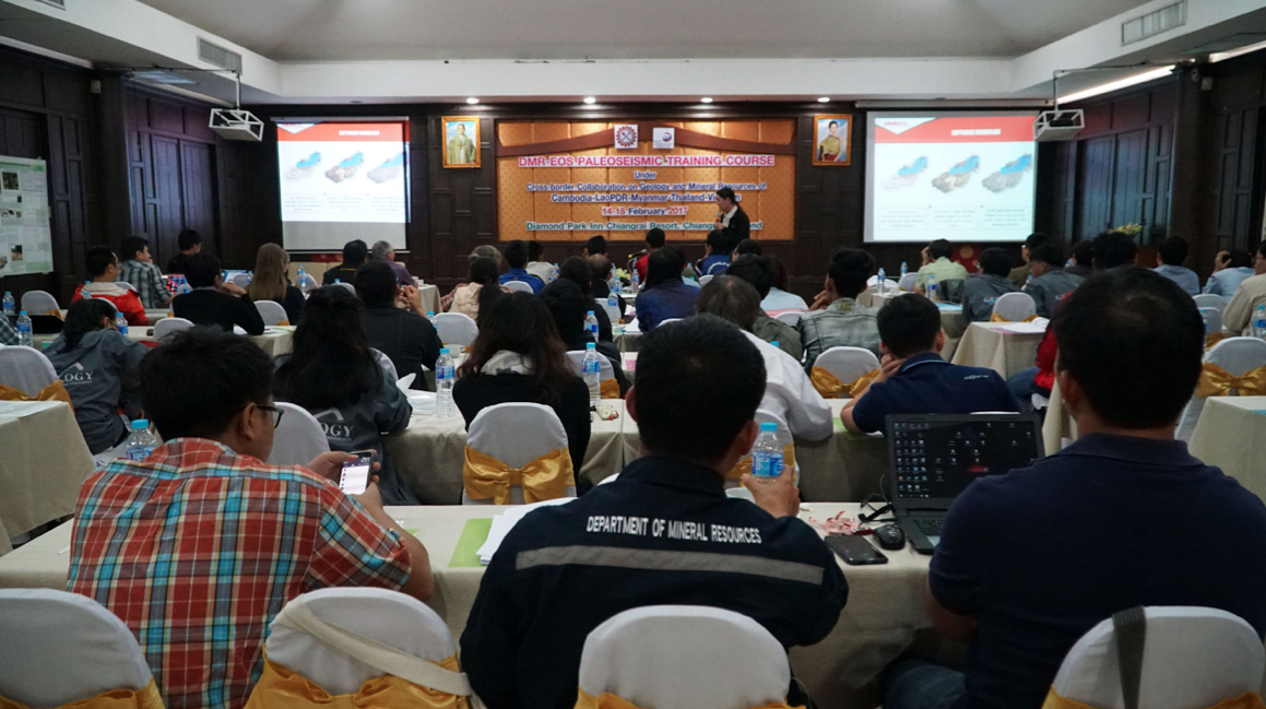
The training camp began in northern Thailand with three days of lectures and discussions about active fault research. The group then travelled to the region of the 2011 Tarlay earthquake near Tachileik, Myanmar, to conduct a week-long collaborative field survey.
“Each day,” Dr Wang Yu recalled, “the students and trainers would pack themselves into a truck, and drive along dusty roads for over an hour to reach the field site. When we arrived, everyone would topple out of the truck covered in 'golden dust' from head to toe.”
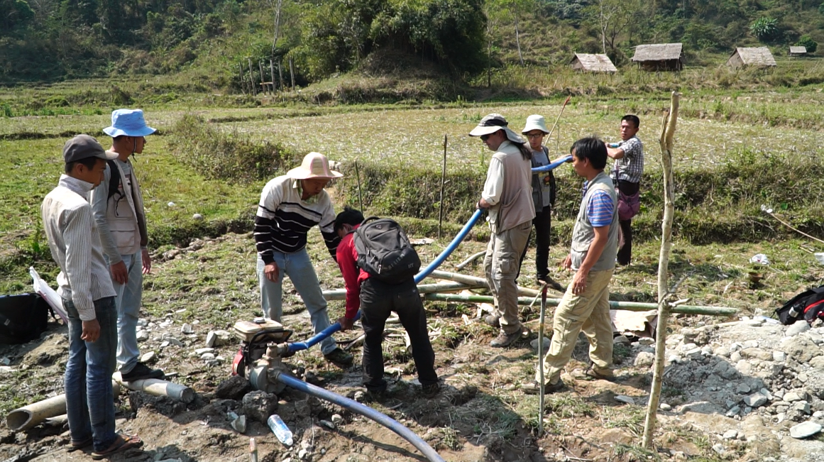
Students spent hours in the trenches every day, noting down descriptions of different rock sections found in the trench wall, and collecting samples of charcoal, which would be used for dating deposits.
They learned how to recognise and measure offsets, and were taught how to identify past earthquakes through trenching. Several students used aerial photographs and drone footage to construct a 3D map of the field site.
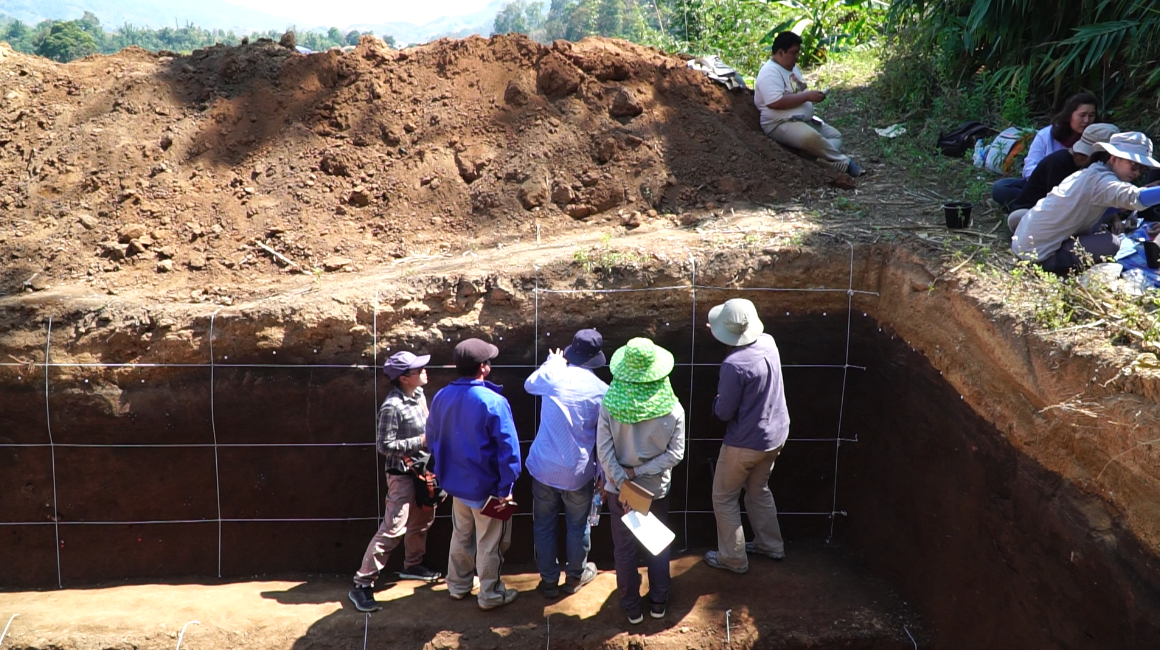
Dr Ashley Streig, a trainer from Portland State University, said that she was impressed with the students’ performance, and praised them for being fast learners – in less than a week many of them had picked up some of the finer skills required for conducting paleoseismological research.
Mr Arthur Makulim, a student from Sabah, Malaysia, said that he had decided to attend the training camp after a magnitude-6.0 earthquake shook Sabah in 2015. After the camp, he plans to find ways to share his newfound knowledge and skills to improve the understanding of earthquakes in his home country.
Ms Elizabeth Curtis, a student from the University of Oregon, said that she had an “absolutely amazing” experience during the training camp and that it was her first time learning to trench – a technique she had read about extensively in the classroom.
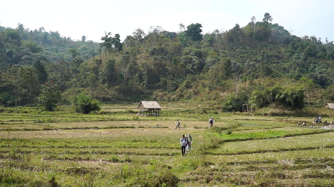
Mr Tim Dawson, Senior Engineering Geologist at the California Geological Survey, one of the camp trainers, explained how the field site was a “great natural laboratory” for students. It gave them the chance to gain hands-on experience, trying out things in the field that they would have otherwise just read about in textbooks.
He hopes that the students who attended this course now feel confident in their ability to survey active faults, so that they can support the international community of geologists by collecting important data about the earthquake histories of their home countries.
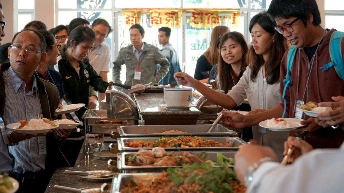
Beyond the transfer of skills and knowledge, many of the students also benefited from the cross-cultural exchange that the training camp provided. Elizabeth explained how much she enjoyed collaborating with such a diverse group of students, who each brought with them different knowledge, skills, and perspectives.
“I was coming from a background of pure geology,” Elizabeth reflected, “just trying to understand the fault. But some of the other students were often asking ‘Why?’, ‘Why should we understand the history of faults in the first place?’ and I don’t think I had ever asked myself that question. It was pretty eye-opening.”