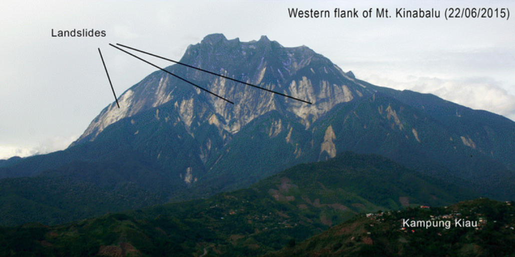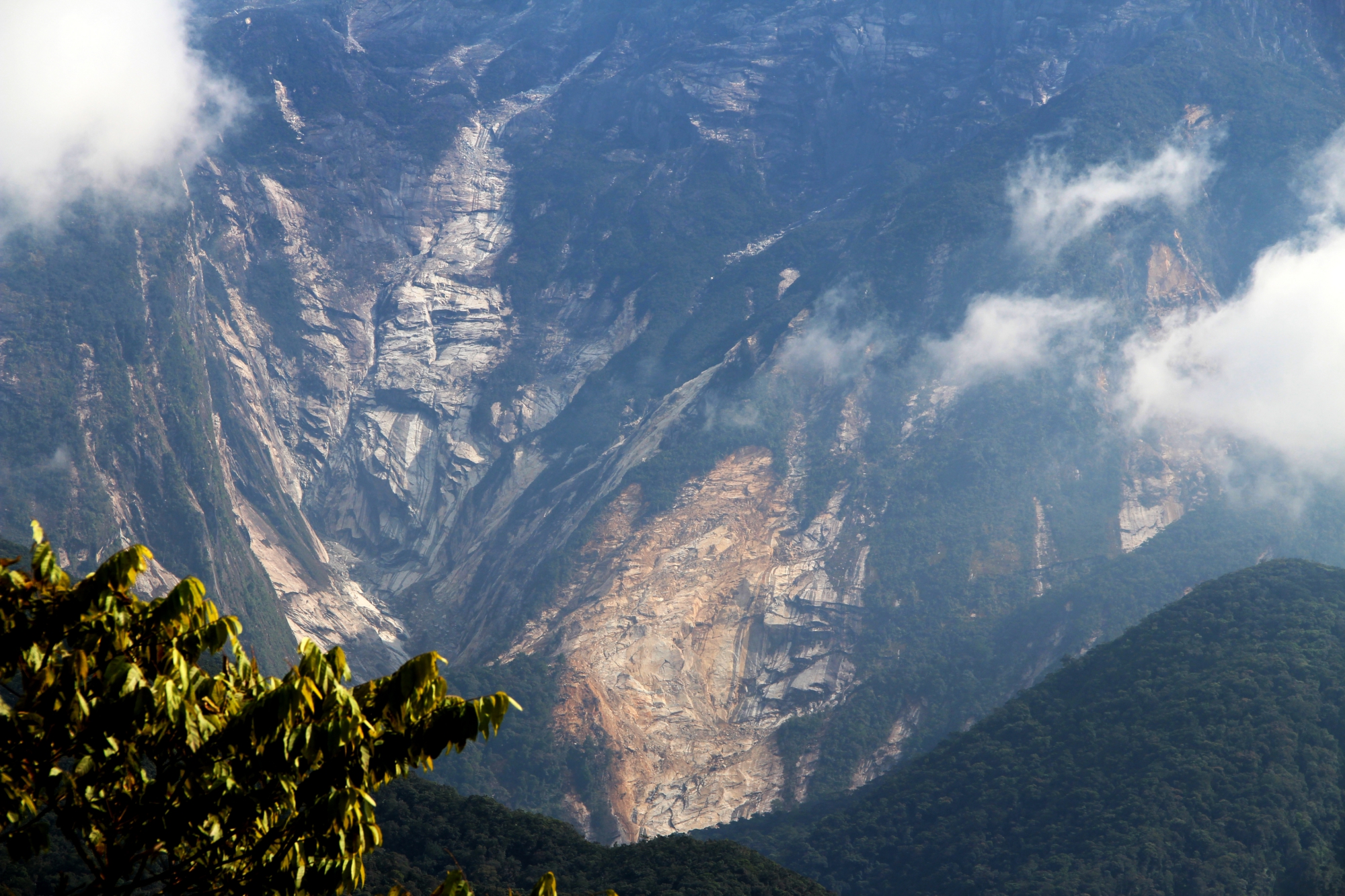
A new study from the Earth Observatory of Singapore (EOS) sheds new light on the 2015 Sabah earthquake. Published on 9 March 2017 in Geoscience Letters, the research paper provides a complete analysis of the quake and explains how it triggered the deadly landslides that killed seven children. It also finds that the fault system responsible for the quake has the potential to produce a magnitude-7.0 rupture, or larger, in the future.
The magnitude-6.0 earthquake in Sabah was devastating mostly because it triggered landslides on Mount Kinabalu, the highest mountain standing in Southeast Asia. The landslides killed 18 hikers and injured at least 21 more.

The quake came as a surprise to residents and visitors alike. “It is not an area that is frequently struck by earthquakes,” says the lead author of the study, Dr Wang Yu, a Research Fellow at EOS. “Compared to Indonesia’s Sumatra, which is on the edge of a major tectonic boundary, Malaysia doesn’t have a history of strong earthquakes.”
The last major earthquake to strike the area occurred in 1976, about 100 kilometres (km) to the southeast of Sabah. In comparison, more than 100 earthquakes above magnitude-6.0 have struck Sumatra in the past two decades. As far as we know, this was the first earthquake of this magnitude to strike near Mount Kinabalu in the instrumental records.
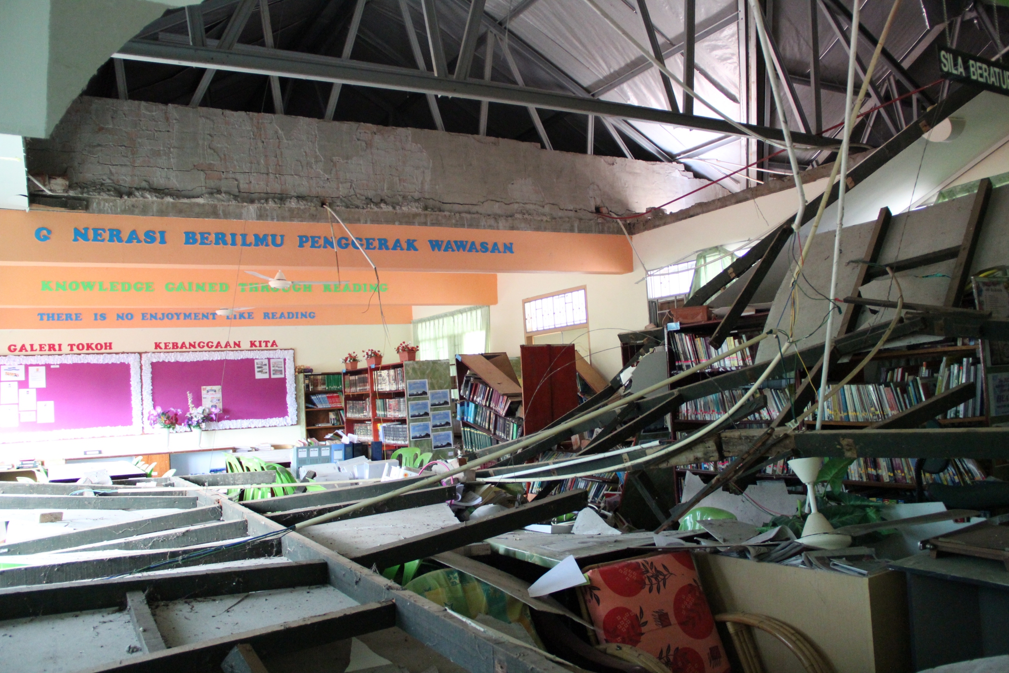
Because Malaysia has a very low earthquake hazard, it has not been as well-studied as areas like Sumatra. To learn more about the region’s geology, Dr Wang visited Sabah two weeks after the earthquake. There he saw extensive landslides, cracked foundations, and caved-in ceilings. Aftershocks prevented homeowners from fixing their homes.

By combining seismological, space geodetic, geomorphological, and field investigations, Dr Wang and his collaborators performed the first-ever systematic analysis of the region’s faults together with Dr Felix Tongkul, a geology professor from Universiti Malaysia Sabah. They inspected the mountainous terrain surrounding Sabah for evidence of more recent deformation. Using detailed topographic maps, Dr Wang and his colleagues found a 200-km-long fault system, which they named the Crocker fault system. The name comes from the Crocker Range, which extends along nearly half the fault’s length. The fault system is composed of active normal faults that stretch northeast to southwest, through the 2015 earthquake’s epicentre.
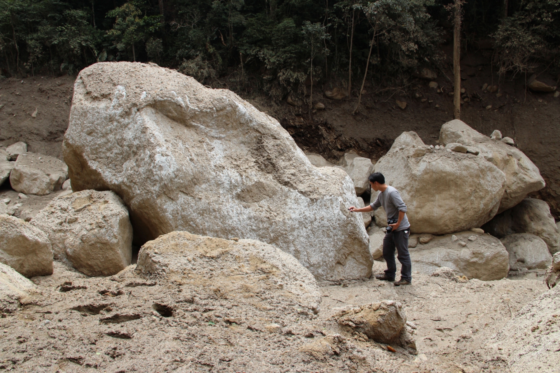
The large-scale landslides initially surprised Dr Wang because landslides aren’t usually so destructive after earthquakes measuring 6.0 in magnitude. In his new study, Dr Wang explains how the earthquake triggered the devastating landslides on Mount Kinabalu. “The earthquake ruptured directly underneath the mountain, causing strong shaking and, ultimately, deadly rockfalls,” he said.
 Most landslides were within 15 km of the epicentre. Although nearly all of the landslides occurred on slopes steeper than 30°, many smaller landslides happened on the north side of Mount Kinabalu and few were on the steep slopes south of the mountain. In this new study, Dr Wang and his colleagues discovered that as the fault broke, it ruptured northward, which may have increased the shaking on Mount Kinabalu, especially on its northern side. This would explain the high number of landslides to the north and the few to the south.
During his research, Dr Wang also found evidence that the Crocker fault system is capable of producing earthquakes larger than M 7.0 anywhere along the 200-km fault. “The longer the fault is, the larger the earthquake it can produce,” said Dr Wang. In the study, he estimates that earthquakes of magnitude 7.0 would occur every several thousand years, bringing significant damage to Sabah’s coastal settlements, including Kota Kinabalu, the capital city of Sabah. Additionally, the study projects that earthquakes greater than M 5.0 would occur every 20 years and those greater than M 6.0 would occur every 150 years. The model matches up with the historical record of earthquakes in the Sabah region that dates all the way back to 1900.
“Governments need to be made aware of this hazard potential so that residents can be better prepared for earthquakes of higher magnitudes,” said Dr Wang. Historically, infrequent earthquakes have resulted in significant damage, partly because they occur so rarely. Fuzzy in memory, they don’t encourage implementation of earthquake preparation, building codes, or the study of active faults.
But, with this new study, it’s clear that there is a higher earthquake risk than previously thought. “Now we know that there is an active normal fault system that can produce large earthquakes, measuring M 7.0 or larger, in the region,” said Dr Wang. “It is imperative that people and their governments take that into account to minimise damage and loss of lives.”