Five centuries ago, Leonardo da Vinci noticed fossilised sea creatures encrusted in the rocks around his house. He began to wonder whether, at some point, the mountains had been underwater. Da Vinci was right of course, but he would not be around to hear scientists explain why it was possible.
It took a long time to figure out this explanation. So much time, in fact, that some of us were alive when it finally happened. Plate tectonics, now considered the unifying theory of geology, was born in 1968. Its birth was not easy and was spared no drama.
In 1912, the meteorologist Alfred Wegener introduced the concept of continental drift, but since no one was able to explain the mechanics behind the movement of continents, the theory lost traction. At that time, geologists assumed that the Earth’s major features were fixed. Geologists, turns out, would play a vital role in the journey towards plate tectonics.
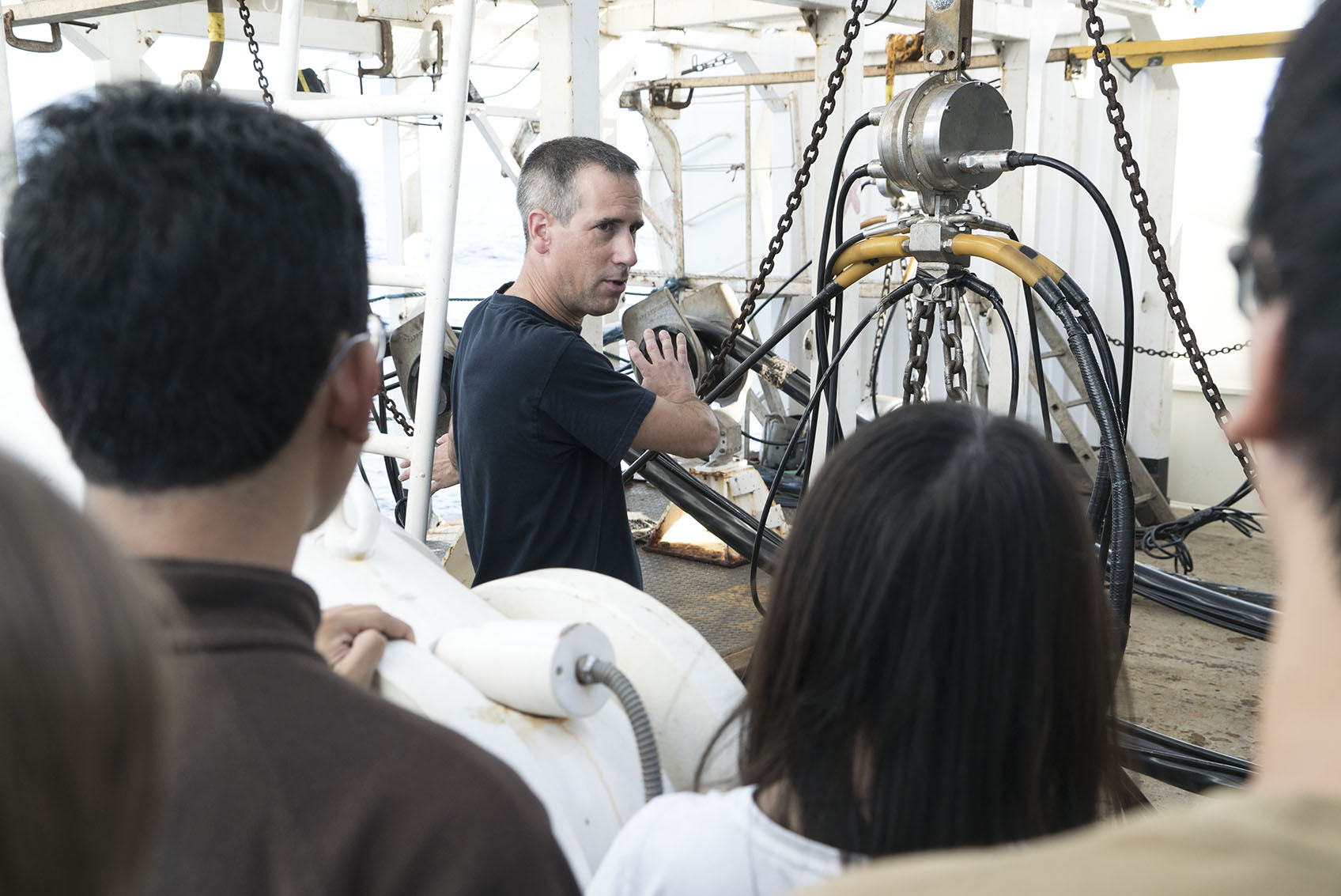
Back Into the Water
Dr Kyle Bradley, a Research Fellow from the Earth Observatory of Singapore (EOS), defines himself as a land animal. He feels so strongly about this that he even jokes about his distant Viking ancestors landing in the United States, after sailing all the way from Norway, and swearing to never get back on the ship.
Ironically, it was while fulfilling his love for land exploration, that he realised he needed to take a closer look at the ocean – or more specifically, at what unfolds underneath it. Dr Bradley reflected on his time in Sumatra studying what he thought was a very complex fault:
“We came to the realisation that it was not what we had previously thought, and that it was actually a pretty simple plate boundary fault. The problem is that this has implications for the other side of the plate. It turns out, that in order to explain why the Sumatran fault is so simple, you have to understand the complexity of the area offshore.”
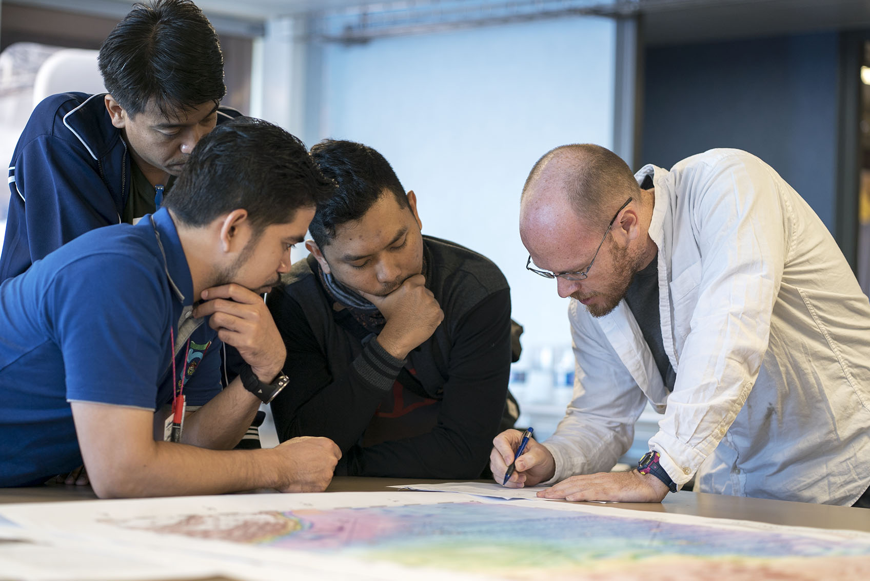
Instead of having a lot of deformation on land, somehow all that deformation has been shipped off to sea, where we cannot see it anymore. Realising this, I wrote a paper proposing that in order to understand the active faulting in Sumatra and also the region’s recent geological history over the last 10 million years, you have to understand what is going on offshore.”
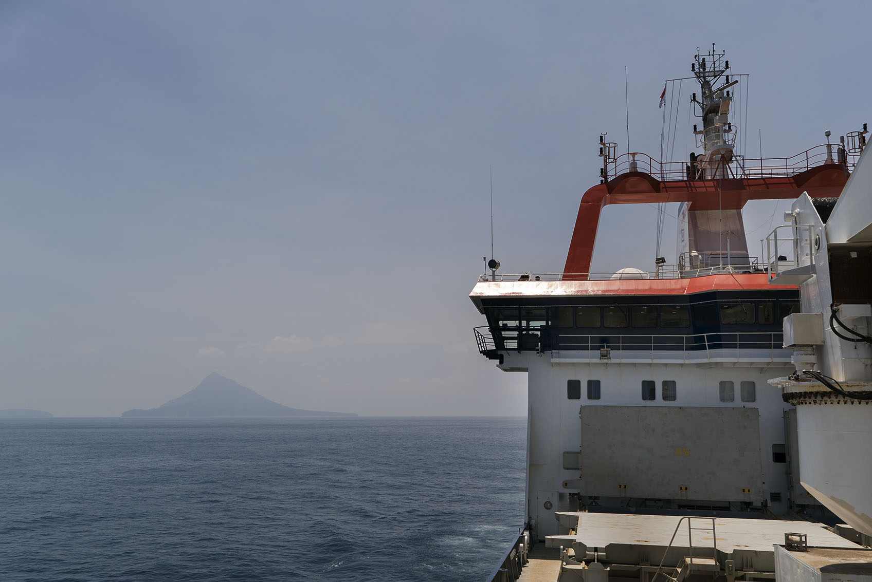
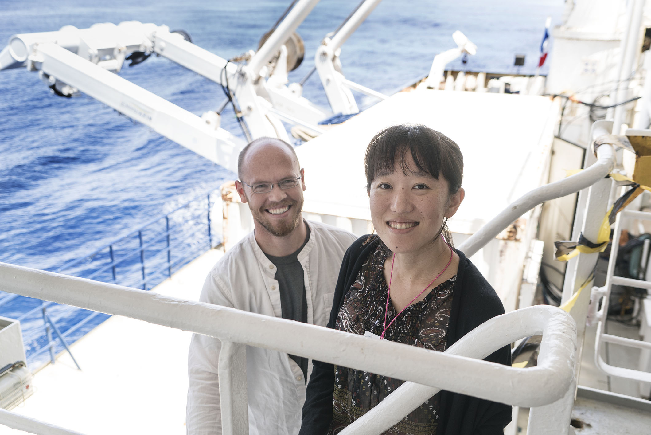
That is why today Dr Bradley is sailing at a steady 15 knots on-board the R/V Marion Dufresne, excited to take part in his first oceanographic expedition.
Up From the Depths
Because earthquakes and volcanoes are a fact of life in her native Japan, Dr Mari Hamahashi – also a Research Fellow at EOS – naturally felt drawn to them. Her work focuses on deciphering the past, uncovering the secrets of the Earth to understand current seismic activities and anticipate future ones.
She analyses big fault rocks that used to be under the ocean and have since been uplifted to the continent, carrying a whole record of geological events with them.
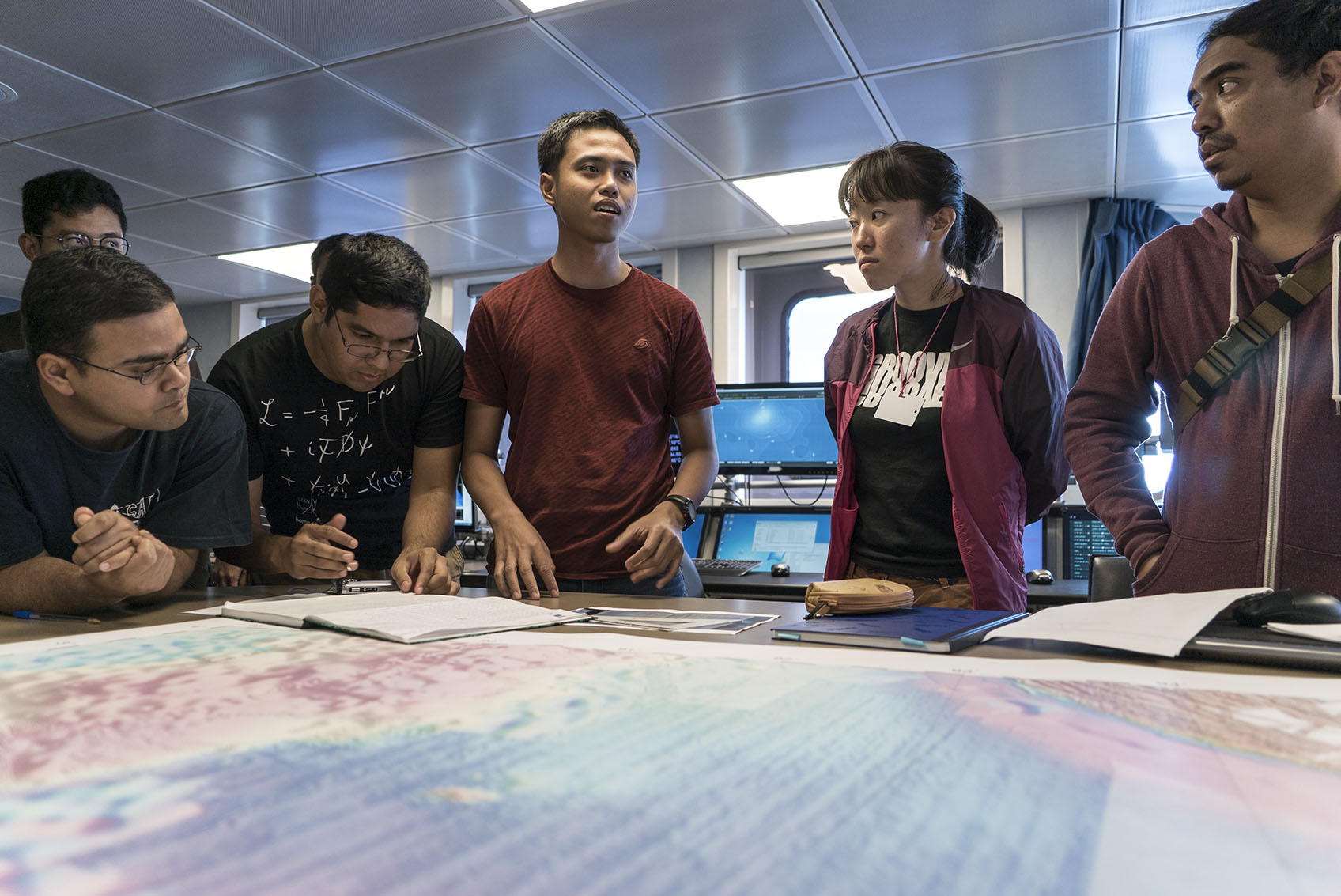
“As a geologist I look at larger time scales, I look at old rocks from millions of years ago. You need a lot of imagination and ideas to understand past systems, because there are no perfect records when it comes to rocks. You have to put the pieces together,” she explained, while looking attentively at
a screen displaying the latest data coming in from the ship’s instruments.
Last year, Dr Hamahashi participated in the MIRAGE I expedition, extracting core samples from the ocean in the Wharton Basin in the Sumatra seismogenic zone. This year, she has returned to collect more pieces for her puzzle.
“When you are drilling, you are looking at core samples that are very spatially limited. They give us a lot of detailed information about depth, but not laterally. Since we are going to be surveying the sites that we drilled last year, we are going to be able to correlate the data and add the width of this geophysical research to the depth of coring.”
Never-ending Motion
For decades, geological ideas were discussed under the assumption that large geological features were fixed onto a deforming globe with no continental drift.
On top of it all, key research about seafloor spreading was given little credit. This research would have been fundamental for identifying plate junctions at the bottom of the sea.
Then, two important developments took place: the first was the field of paleomagnetism. Rocks have magnetic fields that point to where Earth’s magnetic north pole was when they were formed, but our planet’s magnetic north and south poles reverse through time. As a result, different rocks from different ages show variable magnetic field directions.
By establishing a rock’s age, and determining where the magnetic north pole was at that time, experts were able to prove that the continents were continuously moving, shifting, and rotating through time. Each continent, in fact, has its own wander path.
The second development came from geologists. Marine geology helped to explain how, while the ocean spreads in mid-oceanic ridges, the oceanic crust progressively disappears into the mantle along subduction zones, in an endless cycle.
This finally explained why it was possible for the oceanic crust to grow without the entire planet needing to become larger, a question which had puzzled experts for a long time.
Thanks to the fields of paleomagnetism and marine geology, plate tectonics was born. Alfred Wegener – who first proposed the idea of continental drift – was vindicated, but by then he was long gone.
Scientific knowledge is constantly being pushed forward. In the quest to understand how our planet’s innermost mechanics work, geologists are essential.
Coming from distant corners of the world, Drs Hamahashi and Bradley followed the clues that brought them to Southeast Asia, a seismically active yet mysterious area where they both felt they could contribute to the advancement of the young field of plate tectonics.
Follow the progress of MIRAGE II between 25th September and 20th October 2017 on the EOS blog, and spread the word using #MIRAGEcruise.