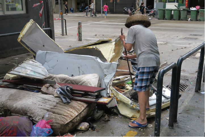
Typhoon Hato–one of the strongest typhoons in 53 years–struck the coasts of southern China on August 23, 2017. The typhoon, which claimed 26 lives and resulted in billions of dollars in economic losses, generated widespread storm surge flooding in the coastal cities of Macau and Zhuhai as it coincided with an usually high astronomical tide.
While Macau and its neighbouring city, Zhuhai, frequently experience storm events, the severity of flooding during Hato was the worst in recorded history.
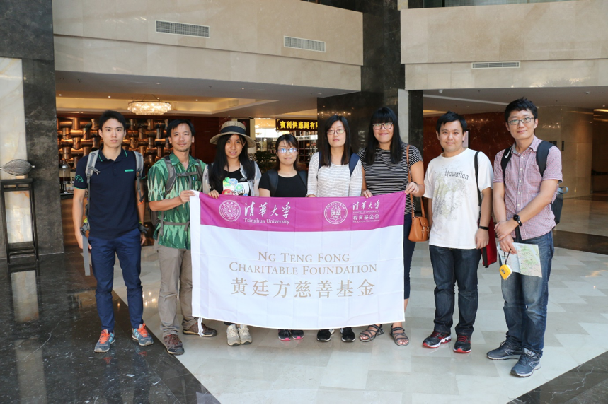
Three days after the event, our survey team–a collaboration between the Earth Observatory of Singapore (EOS), National University of Singapore (NUS), and Tsinghua University–was deployed to Macau and Zhuhai to investigate the impacts left by Typhoon Hato.
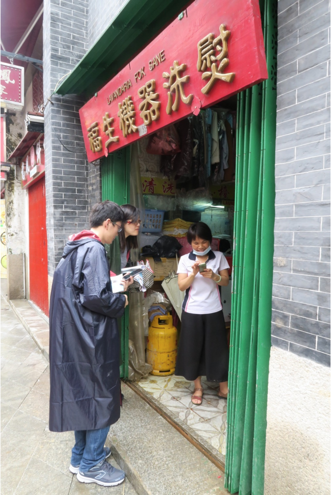
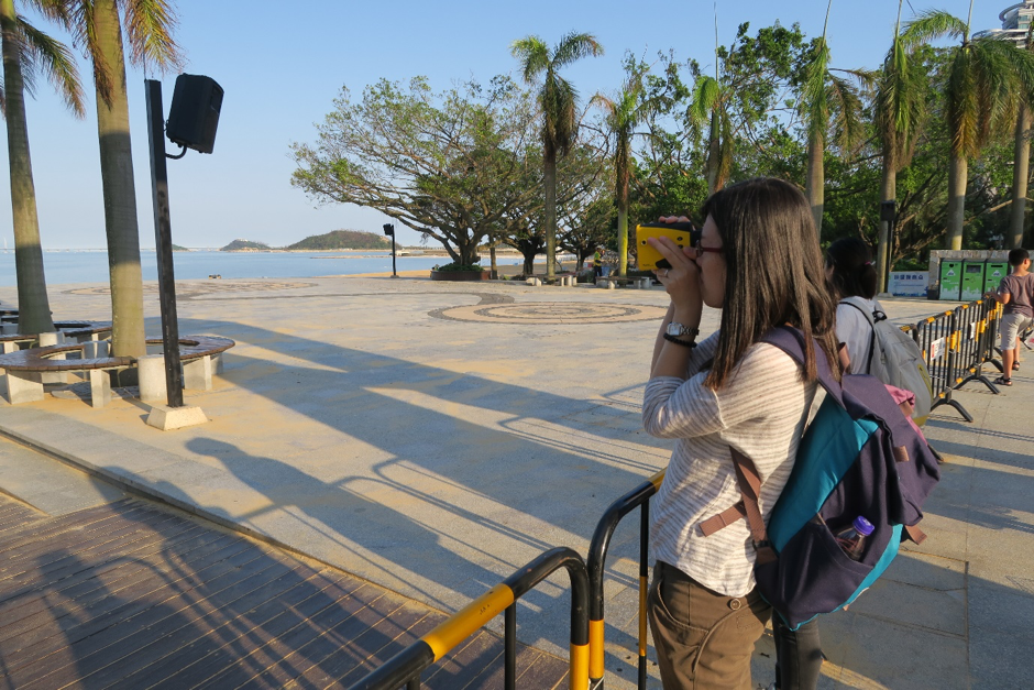
The aim of the field survey was to collect field data through photographs, observations, and interviews in order to understand the effects of the typhoon. The survey had to be conducted quickly, and almost immediately after the event, before the arrival of a second typhoon, Typhoon Pakhar.
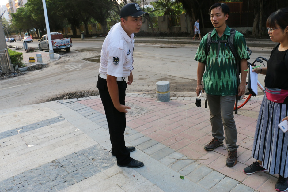
Our team performed flood height estimations at about 400 sites in Macau and Zhuhai. We were able to collect information about the depths of inundation at each location through water marks left by the storm event, as well as by conducting interviews with shopkeepers, homeowners and security officers. Many of the people who we interviewed were extremely helpful, and some even shared photographs and video footage with us.
In Macau, we had one very memorable interview with an elderly resident who lives along the street of Rua Do Camboa. Upon learning that we were researchers studying typhoons and floods, he was very excited to share his experience with us. However, as he was not able to communicate in either English or Mandarin, he had his sister translate for us.
We learnt that his house has been flooded by many typhoon events over the years. He used the length of his body as a yardstick to relate the height of floodwaters from previous events. Typhoon Koryn in 1993 had resulted in 1.4metres (m) floodwaters; after Typhoon Hagupit in 2008 they were 1.2 m; after Typhoon Vicente they were 0.3 m; and this time Typhoon Hato had resulted in floodwaters of 2.1 m.
The elderly man’s story was very valuable for our research. He shared with us his frustrations, and we felt we were able to relate to the disappointment and helplessness he, and many othes, felt. Eyewitness accounts formed an integral part of our field survey.
During the survey, we also conducted a damage assessment in order to understand the response of buildings in the region to storm surges. We noticed that in a cities with many high-rise buidlings, the damage sustained by buildings was significantly different from the damage observed on the East Coast of the United States during Hurricanes Katrina in 2005 and Irma in 2017.
In Macau and Zhuhai, windows on the upper floors of buildings usually sustained damage, while ground floors suffered from inundation. Many of the businesses in the region are located on the lower floors of buildings. As such, Typhoon Hato was very disruptive to business operations, and many of businesses had to close and could only resume normal operations after several days.
During Typhoon Hato, the Macau Peninsula suffered the largest spatial distribution of flooding, when half of the city became flooded. The sheltered West Coast of the Macau Peninsula experienced the worst storm surge flooding.
Due to its low elevation (0-2 m above mean sea level), the western part of the Macau Peninsula is frequently flooded by storm surges whenever a major typhoon hits Macau.
As researchers, we hope to see more effective measures being taken to protect the people living in flood zones. We are deeply motivated to work harder to understand the cause of such disasters in order to help prevent similar events in the future.
We would like to acknowledge the sponsors who made this project possible: AXA Research Fund, SCOR Reinsurance Asia-Pacific Pte Ltd, and Ng Teng Fong Charitable Foundation (Hong Kong)