Lying at the junction of several tectonic plates, Myanmar is exposed to geohazards such as earthquakes, tsunamis, and volcanic eruptions. To help prepare for these hazards, scientists produce hazard assessments using their understanding of the region’s geology and tectonic activity. They seek to answer questions such as: how do the tectonic plates interact with each other, how deep the magma is, where the faults are, and what kinds of earthquakes can we expect?

Scientists from the Earth Observatory of Singapore (EOS) and their collaborators proposed a new 3D velocity model for the subsurface structure of the Earth’s crust and lithosphere down to a depth of 80 kilometres (km) below Myanmar.
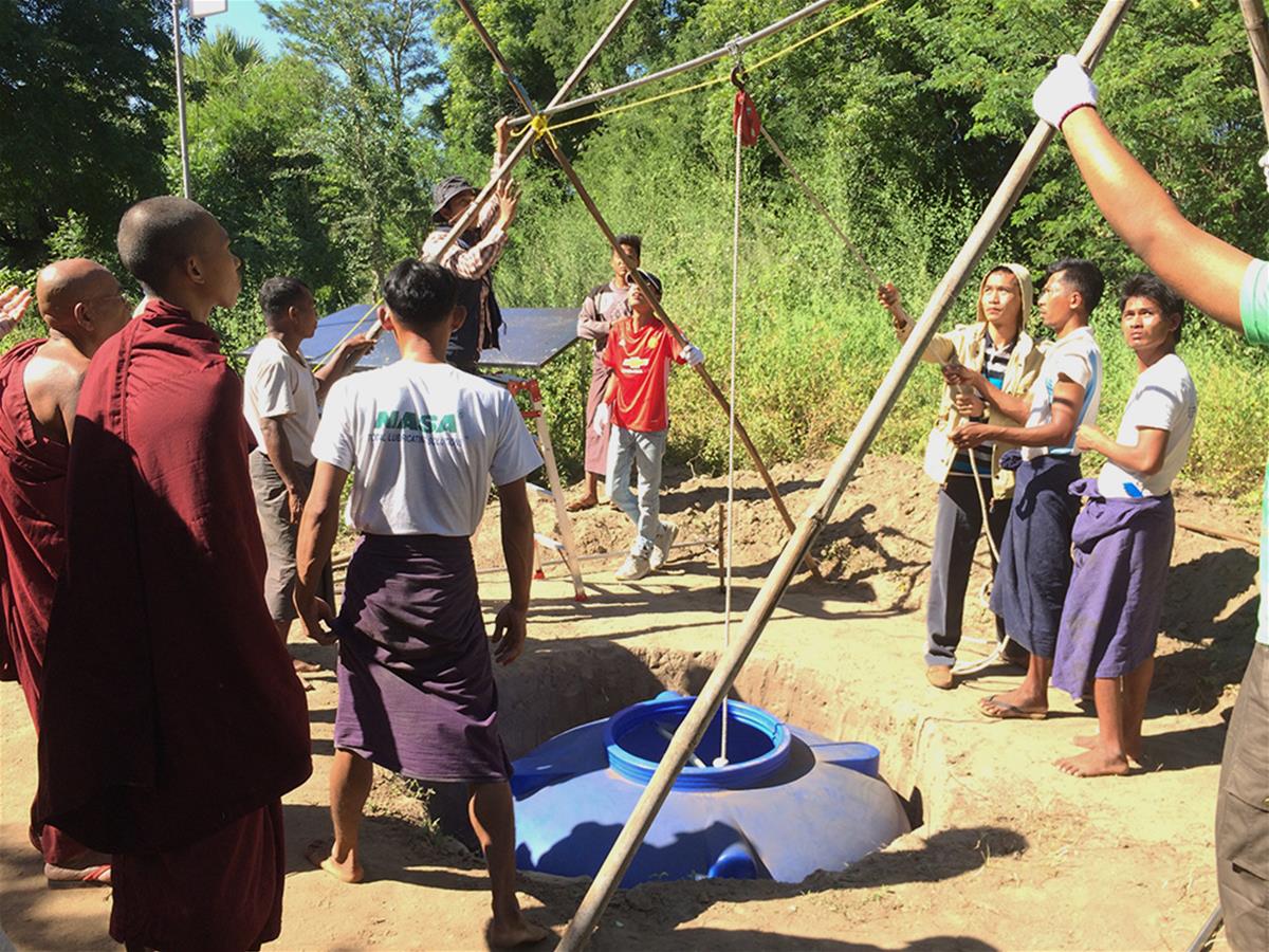
In this study, published in Earth and Planetary Science Letters, the research team used data collected from 55 seismic stations. These stations, which are mostly from the EOS-Myanmar array and EOS Temporary REceivers for Monitoring BangLadesh Earthquakes (TREMBLE), are spread out over the country and in neighbouring Bangladesh. Over three years, the stations recorded seismic waves coming from a variety of sources and locations.
Gathering clues from seismic noise
Instead of using seismic waves generated by earthquakes, the scientists studied the waves coming from other sources, such as ocean waves and winds. These waves, considered seismic noise when studying earthquakes, contain precious information about the rocks they passed through before reaching the station. For instance, one type of seismic wave called a shear wave travels more slowly in rocks containing fluids. By mapping out the shear wave velocity, scientists can identify areas where fluids like water or magma may be present or where specific rock types can be found.

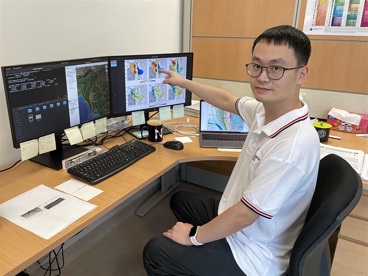
The process of using seismic noise to map out velocities in the subsurface is called ambient noise tomography. In Myanmar, the scientists used this technique to extract the shear wave velocities through different parts of the subsurface. “Because seismic noise occurs all the time and from a variety of locations, we had a wealth of data to construct a high-resolution 3D shear wave velocity model of Myanmar,” said Dr Shucheng Wu, a Research Fellow at EOS and the lead author of the study.
However, a velocity model only gives the speed of the waves. To interpret the composition of the rocks, the team had to turn to other kinds of information such as the region’s geology.
New insights
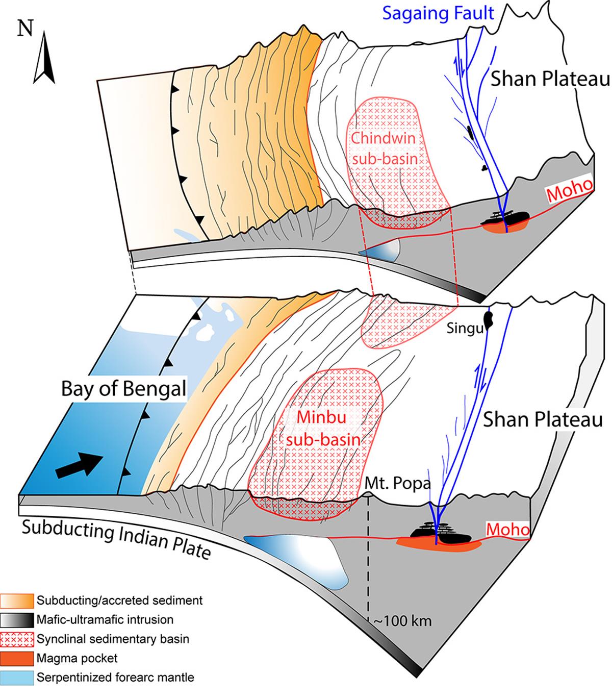
As the Indian plate subducts under the Burma block and encounters increasing pressure and temperature, it releases water that migrates upwards and can react with the surrounding rocks. The scientists propose that the zone of low shear wave velocity they detected represents the presence of rocks, called serpentine, formed by the reaction of this water with the mantle. “Because the shear wave velocity reduction is proportional to the percentage of serpentines in the mantle, we can use velocity reduction to estimate the degree of serpentinisation, and therefore, the amount of water that has been released from the subducted slab,” said Assistant Professor Ping Tong, a Principal Investigator at EOS who co-authored the study.

Further inland, the scientists did not find any low shear wave velocity zones under the magmatic arc where volcanoes are located. One of these volcanoes, Mt Popa, erupted approximately one million years ago. The study suggests that there is no large magma body under Mt Popa, nor under the other volcanoes along the arc.
The strong forces at play during the subduction process form many faults and basins which shape the landscape of Myanmar. The scientists found two zones of low shear wave velocity corresponding to the locations of two basins, the Minbu sub-basin, and the Chindwin sub-basin. "As basins tend to amplify the shaking during earthquakes, knowing their detailed structure will improve simulations of ground motion used for hazard assessment," said Asst. Prof Shengji Wei, a Principal Investigator at EOS who deploys modern seismic instruments in Southeast Asian countries to improve seismic hazard planning and the understanding of plate tectonics.

Further to the east, the scientists suggest the presence of solidified magma in the lower crust along the Sagaing Fault, an active fault more than 800 km long. Part of the fault ruptured as a Mw 6.8 earthquake in 2012, causing significant damage to the Thabeikkyin town located approximately 100 km to the north of Mandalay. “The new model of the basalt beneath the fault provides new insight into the interactions between shallow crustal faults and the upper mantle, which is important to understand the seismic hazard along the Sagaing Fault,” said Asst. Prof Wei.
Looking ahead
"The combination of high-quality data, advanced techniques, and regional collaborations between researchers with different expertise were key to the success of this project," said Dr Wu.
This 3D model provides a framework for future geologic and geodynamic interpretations and will be used to better map the locations of future earthquakes. It is available for download at this link.
Mr Phyo Maung Maung, a research associate at EOS in Asst. Prof Wei’s team who did not author the study, said, "Myanmar benefits a lot from this collaboration. For example, the EOS seismic stations were used to upgrade the Myanmar Department of Meteorology and Hydrology’s (DMH) earthquake monitoring system to detect local earthquakes and global earthquakes, which are critical for tsunami warning as well." Mr Maung Maung, who is also a former staff of the DMH, added, "We will keep working on Myanmar projects and try to understand more about the complicated earthquake geometry of Myanmar, together with local collaborators from the DMH and Myanmar Earthquake Committee."
This work was supported by the Myanmar Earthquake Committee, the Myanmar Department of Meteorology and Hydrology, and the Department of Geology from the University of Yangon.