 As at 1 pm on 14 January 2020, the Philippine Institute of Volcanology and Seismology (PHIVOLCS) retained the Alert Level for Taal volcano at 4 (hazardous eruption imminent), which means that further eruptions are likely in the coming hours or days.
The volcano continues to spew lava fountains up to 800 metres (m) in height from several craters, sending volcanic plumes to the southwest of the volcano. These lava fountains are emitted from the Main Crater and several vents on the northern flank of the volcano. In addition, new fissures or cracks were reported at several locations around the volcano.
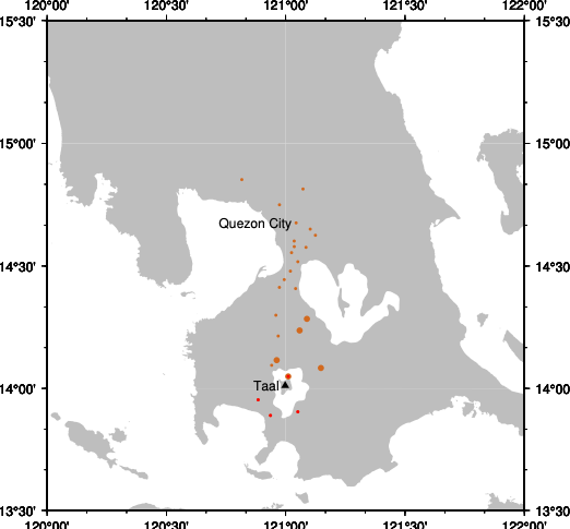
The volcano’s seismic activity level is still intense with more than 200 earthquakes recorded since the beginning of the eruption. More than 80 were felt by the local populations. This intensity suggests that there is significant magma movement within the volcano and that further activity can be expected as a result. PHIVOLCS has advised that residents within 14 kilometres (km) of the volcano should evacuate the area.
Satellite observations on 12 January 2020 showing Taal volcano’s temperature which was interpreted from its brightness. The scenes are made from Himawari-8 10.4 µm channel from 12 January 8 am to 13 January 4.30 pm (Singapore time) (Source: Dorianne Tailpied/Earth Observatory of Singapore)
Taal’s Volcanic Activities
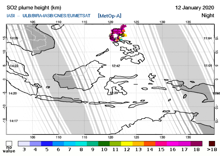
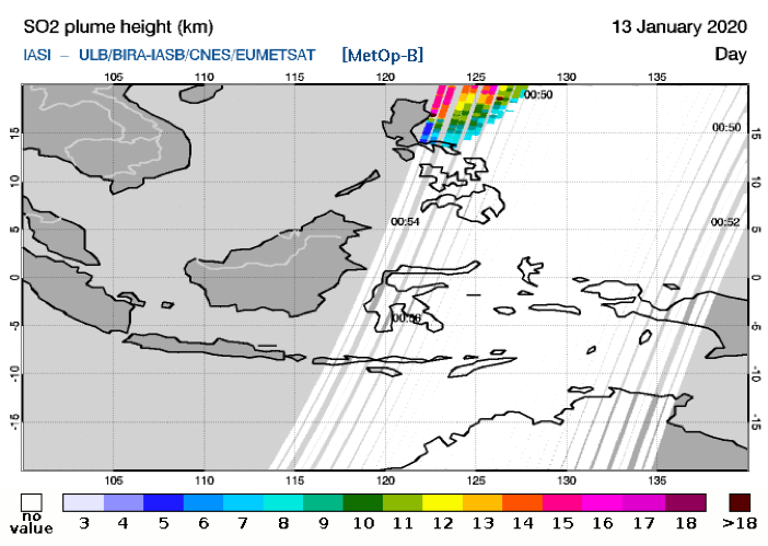
Taal volcano began erupting on 12 January 2020, sending a volcanic plume composed of ash and sulfur dioxide (SO2) 15 km up into the atmosphere. This was captured on satellite imagery as seen in the map below.

On 13 January 2020, from 2.49 pm to 4.28 am, lava was observed to be fountaining from the main crater. The activity waned briefly and then resumed with more lava fountaining and a 2 km-high volcanic plume. The lava fountains were produced by the main crater, as well as new vents on the northern flank of the volcano.

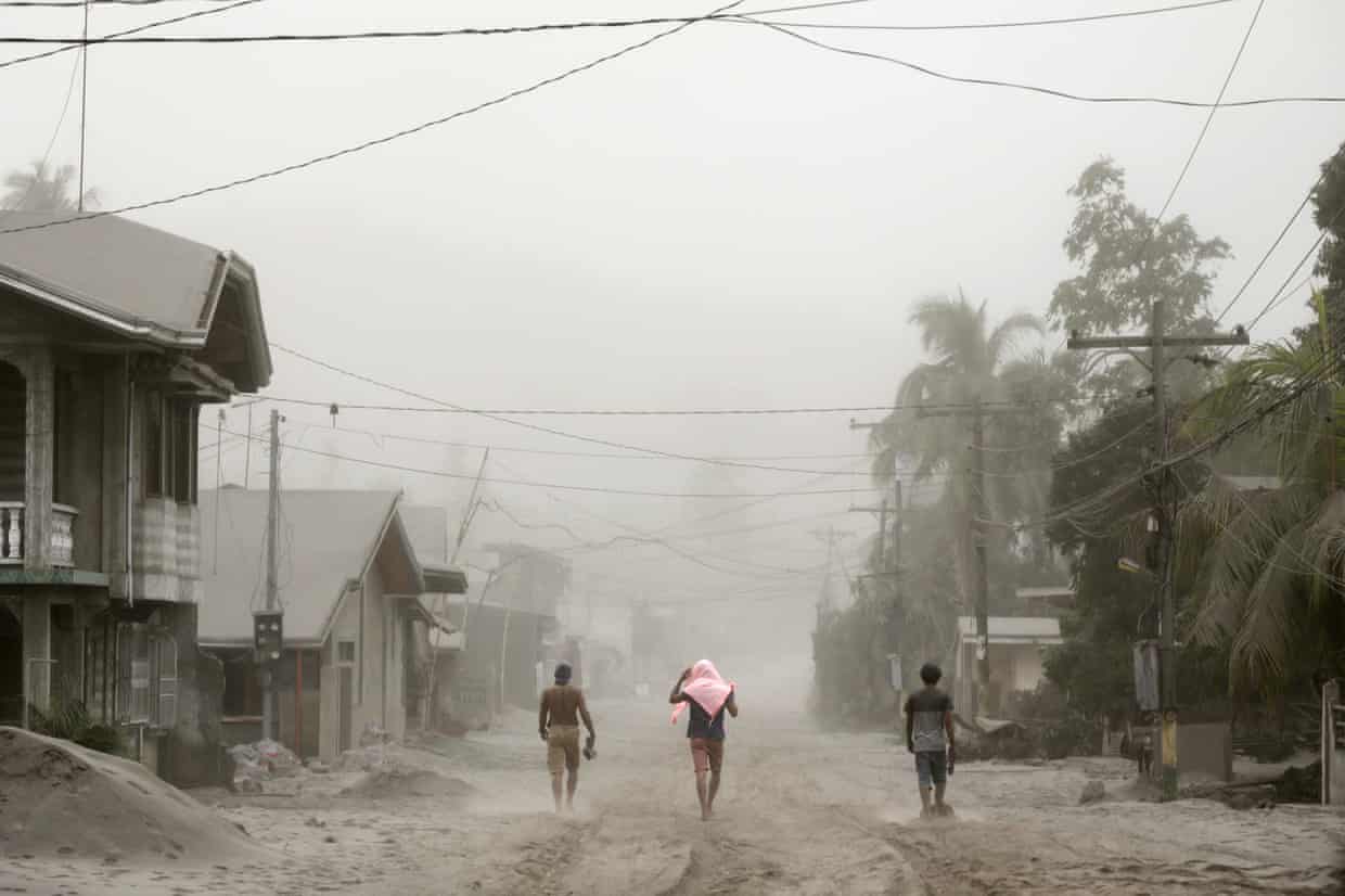
The volcano also continued to emit SO2 with an average of 5,299 tonnes per day on 13 Jan 2020, and ashfall of various intensities have affected many cities around the volcano.

For official updates on volcanic activity at Taal volcano, follow PHIVOLCS on Twitter @phivolcs_dost.