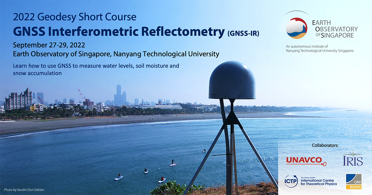
2022 EOS Geodesy Short Course: GNSS Interferometric Reflectometry (GNSS-IR)
Event Type: Workshop
Date: 27-29 September 2022
Location: Asian School of the Environment Teaching Lab 1 (N1.1-B2-01B), Nanyang Technological University

About the Event
This course is organised by the Earth Observatory of Singapore (EOS) in collaboration with the University NAVSTAR Consortium (UNAVCO), the International Development Steering Committee (IDSC) of the Incorporated Research Institutions for
Seismology (IRIS), and the International Centre for Theoretical Physics (ICTP).
Course description:
This three-day in-person short course will introduce the basic principles of GNSS-IR, demonstrate and discuss its use for measuring water levels, soil moisture and snow accumulation, and teach how to use the open-source GNSS-IR python software gnssrefl for
research purposes. This course is designed to be an active learning experience with both lectures and hands-on exercises.
Learning goals:
Participants completing this short course will understand the accuracy, precision, strengths and weaknesses of GNSS-IR, and will be able to measure water levels, soil moisture and snow accumulation using data from the global GNSS network. Participants
are also encouraged to use their own GNSS data for analysis during the course.
Application process:
Individuals who are interested in attending the short course can apply here. A limited number of travel support is available for participants. Applications will be reviewed and acceptance
decisions will be based on responses to prompts in the application. Priority will be given to applicants who come from Southeast Asia and need the training to conduct research. Review of applications begins on 25th July 2022; applicants
will be notified of their application status from 1st August 2022.
Note: Application has been closed.
Instructors and expertise:
Prof Kristine Larson (Professor Emerita, University of Bonn) – GNSS, GNSS-IR, gnssrefl softwareMs Kelly Enloe (UNAVCO) – Jupyter notebooks, python, gnssrefl softwareDr Dongju Peng (EOS) – GNSS, GNSS-IR, sea-level change
Computer requirements:
Participants are expected to have their own computer with MacOS, Linux, or Windows systems. It is strongly recommended that participants have the gnssrefl software installed on their computer before attending the short course.
We will hold an online Q&A Zoom session on September 20 at 9:00-11:00 am Singapore time to help participants with the software installation.
The gnssrefl software and resources about GNSS-IR are available at the following links:
Pre-course preparations:
Participants are encouraged to view this welcome video by Prof Kristine Larson before attending the course. (Slides can be downloaded here.)
Viewing the videos below before the course is optional.
GNSS-IR: An overview
GNSS-IR: How to estimate reflector height
GNSS-IR: How to run the gnssrefl software
Questions:
Please contact Dr Lujia Feng at lfeng@ntu.edu.sg